R4,500 - R6,000
R4,800
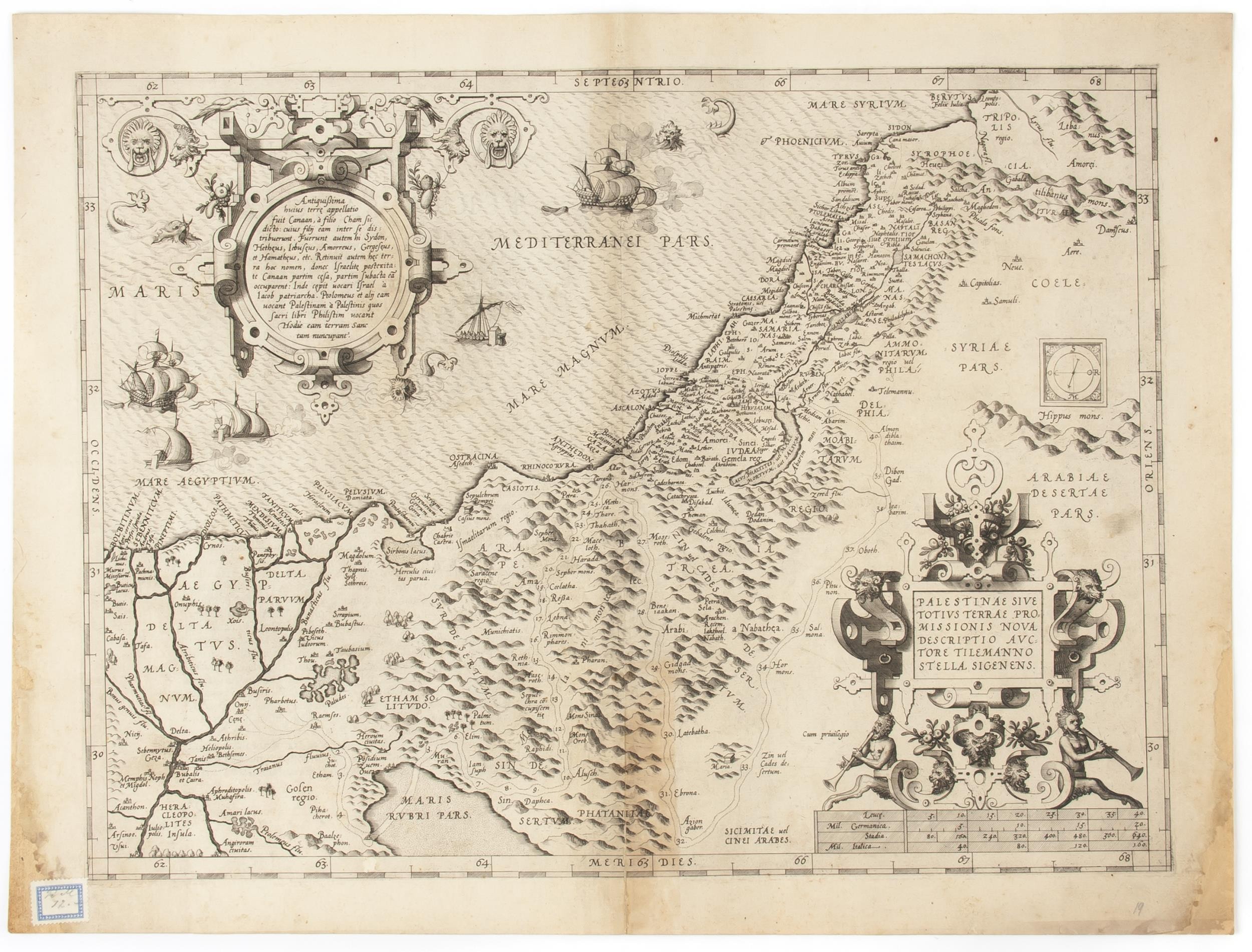
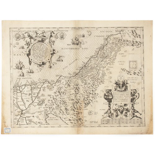
Abraham Ortelius - PALESTINAE
SIVE TOTIVS TERRAE PROMISSIONIS NOVA DESCRIPTIO AVCTORE TILEMANNO STELLA SIGENENS
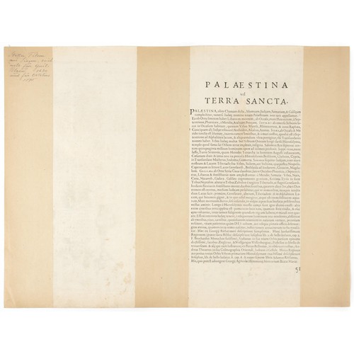
Uncoloured copperplate engraving. Centre fold. Blank. Latin text on verso.
Image 35 x 47cm, on sheet 40 x 53cm
Map of Palestine from the “Theatrum Orbis Terrarum,” first published by Abraham Ortelius in Antwerp in 1570, after Tilemanno Stella Sigenens. The map presents the coastal area from Beirut to the Nile Delta and the inland areas past the Jordan in the east and the Red Sea in the south and shows the routes of the Exodus and Wandering. Two large cartouches are the most intricate to be found on Ortelius’ maps. Ortelius made at least three very similar plates; the first with five ships and three sea-monsters; the second one sea monster only; the third with three ships and no sea-monsters. This map appears to be the first state.
Abraham Ortelius (1527 –1598) was an Antwerp based cartographer best known for the publication in 1570 of the first modern atlas, the “Theatrum Orbis Terrarum,” covering the contemporary cartographic knowledge. He personally drew the maps, which were then engraved by Ambrosius and Ferdinand Arsenius and Frans Hogenberg. The atlas was published between 1570 and 1612 in 31 editions, with text in Latin, Dutch, French, German, Italian, Spanish, and English, the 1570 edition having 70 maps on 53 sheets, and the 1612 edition having 167. After Ortelius's death the copper plates passed to his heirs, then in 1601 sold to Jan Baptist Vrients which added new maps and published the atlas until his death in 1612. Later the plates were sold to the Moretus brothers, successors of Christoffel Plantin, and some maps published until 1640.
Condition: Good. Small sections of bottom corners and sides are missing. Small sticker to bottom left-hand corner, and small note in pencil to bottom right-hand corner. Slight discolouration, and a few small spots of wrinkling and foxing to map. Minor foxing and note in pencil to verso. Map has been professionally mounted.
Fees apply to the hammer price:
Room and Absentee Bids:| 1 to 10000: | 23% inc VAT* |
| 10001+: | 19.55% inc VAT* |
| 1 to 10000: | 23% inc VAT* |
| 10001+: | 19.55% inc VAT* |